Phokaia Ancient City
The seafaring Ionian city that founded Marseille, its remains scattered beneath and around today's Eski Foça.
546 BC. The soldiers of the Persian commander Harpagus are heaping earth against the walls of Phokaia.Listen to the rest in the app
A city of seafarers
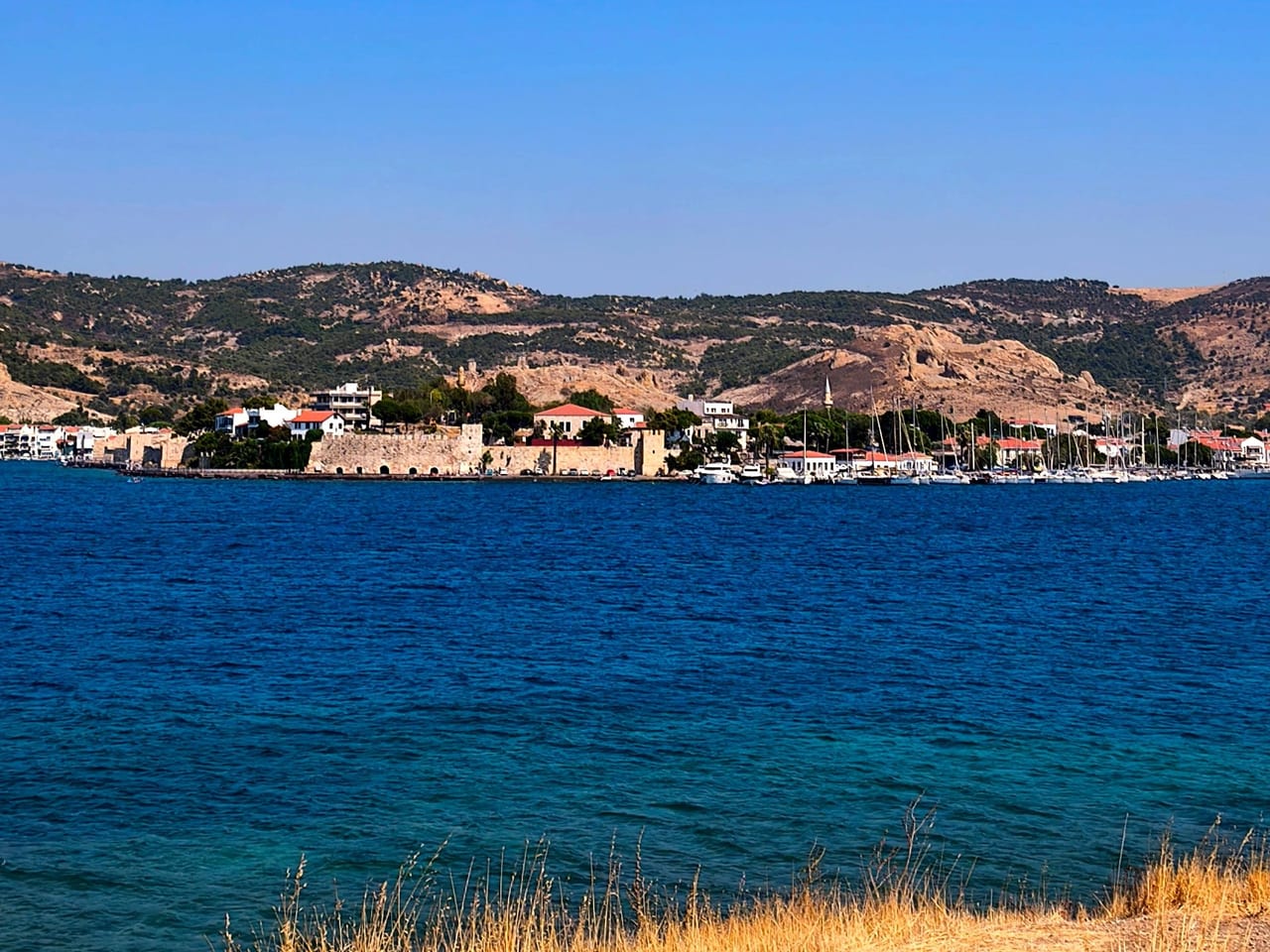
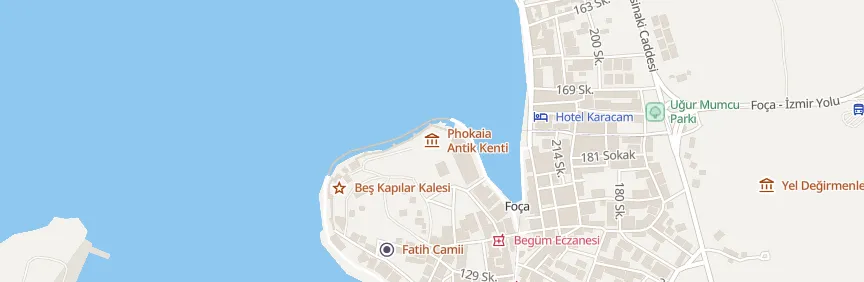
Phokaia lies north of İzmir on a peninsula surrounded by the sea on three sides, on the site of today's Eski Foça; the islands of İncir, Orak and Fener opposite make it a natural harbor. Ancient writers disagree on its founding: Pausanias credits settlers from Teos and Erythrai, Herodotus and Strabo the Phocians of central Greece. Gray Aeolian pottery found in the excavations shows that its first inhabitants were Aeolians, while Geometric pottery shows that it was an Ionian settlement from the late 9th century BC. The city is said to take its name from the Mediterranean monk seals that live in its waters, and seal heads appear on the reverse of its coins.
To the far end of the Mediterranean
According to Herodotus, the Phocaeans sailed fast 50-oared ships rather than large merchant vessels. Around 600 BC they founded Massalia (Marseille) in southern France, Emporion in Spain, Alalia in Corsica and Elea in southern Italy; after the destruction of Smyrna, commercial supremacy passed to them, and Phokaia became one of the first cities in Ionia to strike electrum coins. When the Persians took Sardis in 546 BC, the city's golden age came to an end.
A city beneath the ground
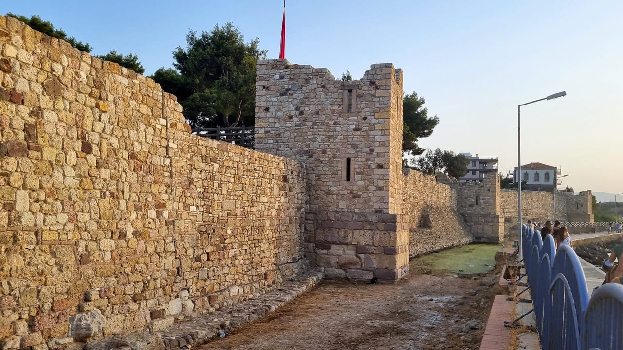
Excavations were led by Félix Sartiaux in 1913–1920, by Ekrem Akurgal from 1952 and, from 1989, by Ömer Özyiğit. They showed that the city was surrounded in 590–580 BC by a wall more than 5 kilometers long and that in the first half of the 6th century BC it was one of the largest cities in the world. The site of the Temple of Athena, the theater dated to the 4th century BC, the rock-cut niches thought to have been dedicated to Cybele and the Persian tomb monument known as Taş Kule outside the town are among the visible remains. Most of the city lies beneath the present-day town.
Practical information
- Getting there: Foça is linked to İzmir by a road of about 70 km; the remains lie in and around Eski Foça. Taş Kule is at kilometer 7 of the Foça–İzmir road.
- Admission: Phokaia is not officially listed as a ticketed archaeological site; check official sources before you go.
- Suggested time: half a day.
- Status: open (open areas within the town).
Where
Nearby places
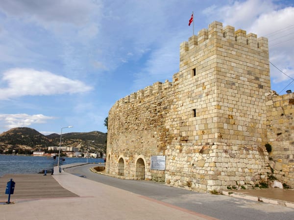 Beşkapılar and Foça Castle
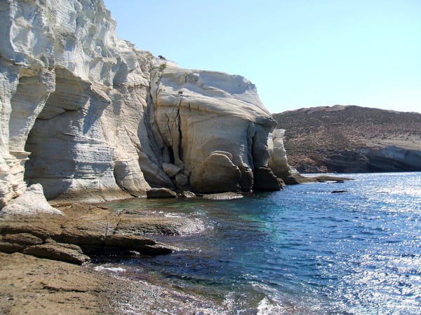 Siren Rocks
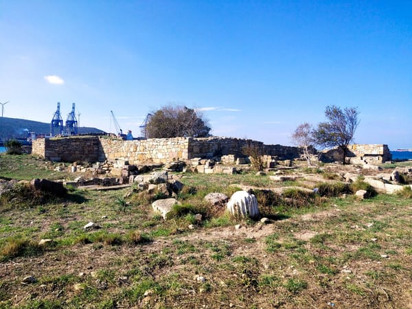 Kyme Ancient City
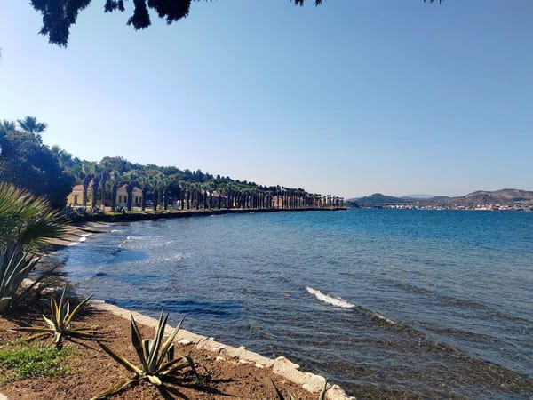 Karantina Island

Listen as you walk
Guide & Travel starts the story by itself when you reach the place, and it works offline too.
Photos (4)
- Beşkapılar and Foça Castle — Photo: Dosseman · CC BY-SA 4.0 · Wikimedia Commons (edited)
- Siren Rocks — Photo: Hakan SAVAŞ78 · CC BY 3.0 · Wikimedia Commons (colour corrected)
- Kyme Ancient City — Photo: Ollios · CC BY-SA 4.0 · Wikimedia Commons (colour corrected)
- Karantina Island — Photo: Emrah Temur


