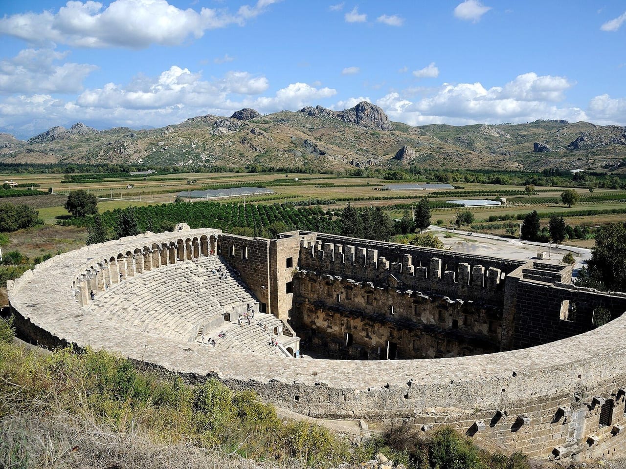
Aqueduct
A Roman aqueduct crossing the plain north of the acropolis, with a pressure tower at each end; it used an inverted siphon to carry mountain water up to the city on the hill.
The arches that lifted water uphill
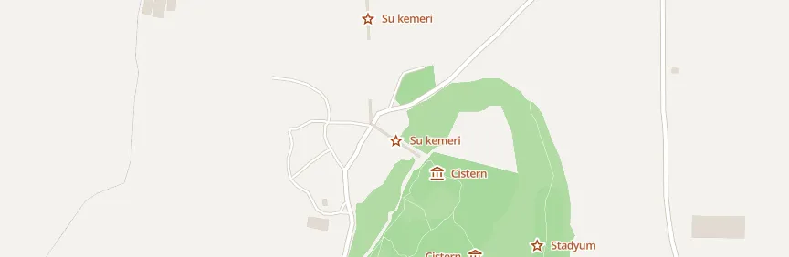
The aqueduct of Aspendos runs north–south across the plain north of the city. Water came from springs in the mountains to the north through channels, bridges, and tunnels: some researchers put the springs about 15 km away as the crow flies, along a 19 km line, while others say 25 km. An arched bridge crossed the plain, with a pressure tower about 30 meters high at each end. Working as an inverted siphon, the towers balanced the pressure in the valley so the water could climb to the hilltop city. Some researchers say about 1 km of the arches still stands (924 meters between the towers), while others say the line can be followed unbroken for 2 km from the city.
Construction and donation
Some researchers date the aqueduct to the 2nd century AD, others to the 1st. A benefactor paid for it, but the inscription is disputed: some researchers read the donor's name as Tiberius Claudius Italicus, others as Tiberius Claudius Erymneus, and the amount is uncertain. Later brick repairs show in the upper towers and arches. J. B. Ward-Perkins studied the aqueduct in 1955.
Where
Nearby places
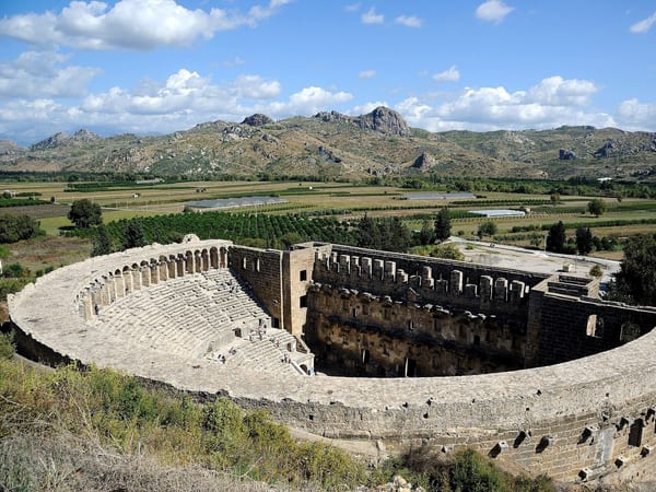 Bouleuterion

Routes that include this place
Listen as you walk
Guide & Travel starts the story by itself when you reach the place, and it works offline too.
Photos (5)
- Bouleuterion — Photo: Saffron Blaze · CC BY-SA 3.0 · Wikimedia Commons (cropped)
- Roman State Basilica — Photo: Saffron Blaze · CC BY-SA 3.0 · Wikimedia Commons (cropped)
- Monumental Fountain — Photo: Saffron Blaze · CC BY-SA 3.0 · Wikimedia Commons (cropped)
- Agora — Photo: Saffron Blaze · CC BY-SA 3.0 · Wikimedia Commons (cropped)
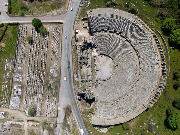
- Perge — Photo: Mehmety11maz · CC BY-SA 4.0 · Wikimedia Commons (colour corrected)
