Liman Tepe
A mound at Urla İskele, inhabited from the Neolithic to the end of the Bronze Age: traces of a walled harbor town and a stone breakwater under the sea.
How many towns can a single hill hold? Liman Tepe is a mound, a hill built up over thousands of years as settlements rose and fell on the same spot, one on top of another.Listen to the rest in the app
A town before the towns
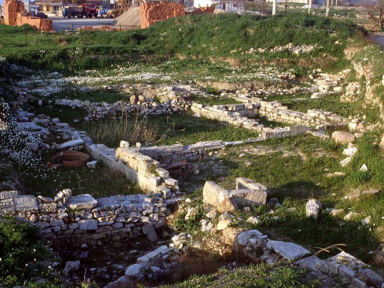
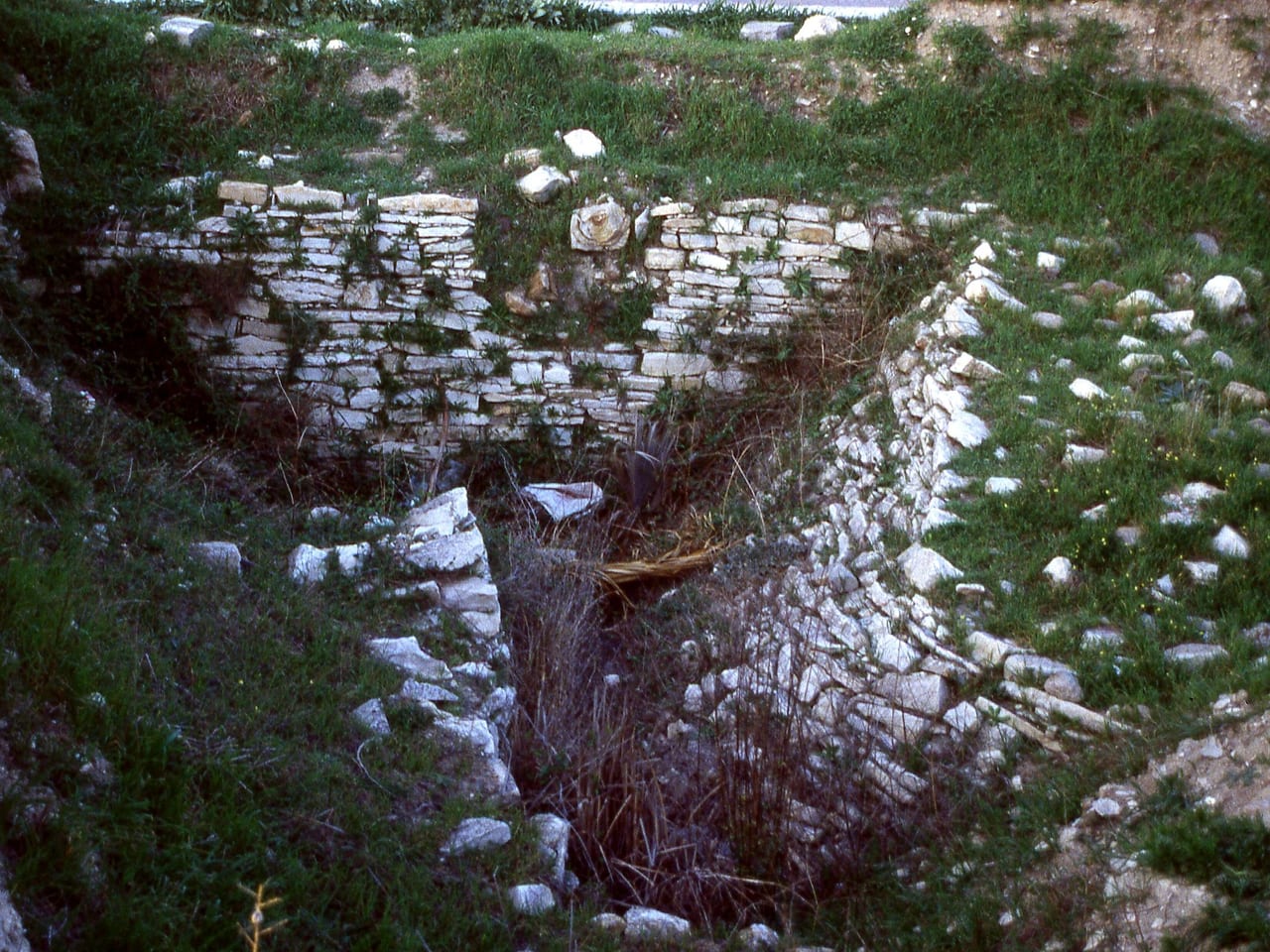
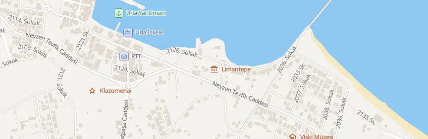
Liman Tepe is a mound rising on a small peninsula in Urla's İskele district, directly opposite Karantina Adası (Quarantine Island); the Kalabak–Çeşmealtı road cuts it in two. Its earliest cultural layer is Neolithic, and settlement continued without a break until the end of the 2nd millennium BC. Its ties with the Cyclades go back at least to the 5th millennium BC. In the first phase of the Early Bronze Age, a defensive wall was built of slab-like limestone; a stretch of it 15.5 meters long has been uncovered.
A walled harbor town
In the second half of the 3rd millennium BC, the settlement grew and its defenses were strengthened: a wall with horseshoe-shaped towers enclosed two citadels, one inside the other, and a large tower rose west of the main gate. Contemporary with the second settlement at Troy, this small harbor town became a regional hub of Aegean sea links as its ties with the Cyclades peaked. Excavations have uncovered a palace-like building known in the Aegean as a corridor house, long houses more than 25 meters in length and workshop-houses where metal was worked and cloth was woven. From the Middle Bronze Age, single-room oval houses with hearths survive.
Those who came later
When the Ionians reached this shore in the 10th century BC, their first settlement was probably centered on this hill and its surroundings; Klazomenai later spread west from here. In the first half of the 4th century BC, Klazomenians opposed to Athens founded a grid-planned town called Chyton on the hill, abandoned around 350 BC. Underwater excavations, begun in 2000, found remains from the 7th century BC to the Roman period offshore, around a stone breakwater. Excavations began in 1992 under Hayat Erkanal; in 2020 Vasıf Şahoğlu took over as director.
Practical information
- Location: Urla, İskele district, opposite Karantina Adası, on both sides of the Kalabak–Çeşmealtı road.
- Suggested time: 30 minutes.
- Status: access restricted.
[bilgi: This is an excavation site; entry requires the excavation team's permission.]
Where
Nearby places
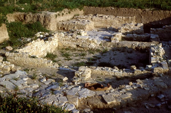 Klazomenai Archaeological Site
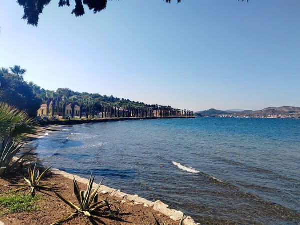 Karantina Island
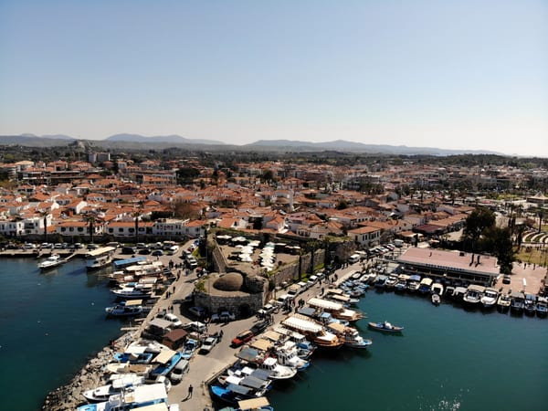 Sığacık Castle and Kaleiçi
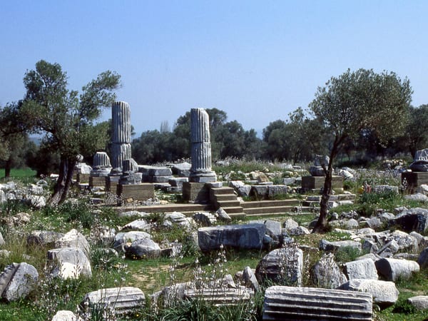 Teos Ancient City

Listen as you walk
Guide & Travel starts the story by itself when you reach the place, and it works offline too.
Photos (4)
- Klazomenai Archaeological Site — Photo: Mark Landon · CC BY 4.0 · Wikimedia Commons (colour corrected)
- Karantina Island — Photo: Emrah Temur
- Sığacık Castle and Kaleiçi — Photo: BSRF · CC BY-SA 4.0 · Wikimedia Commons (colour corrected)
- Teos Ancient City — Photo: Mark Landon · CC BY 4.0 · Wikimedia Commons (cropped)


