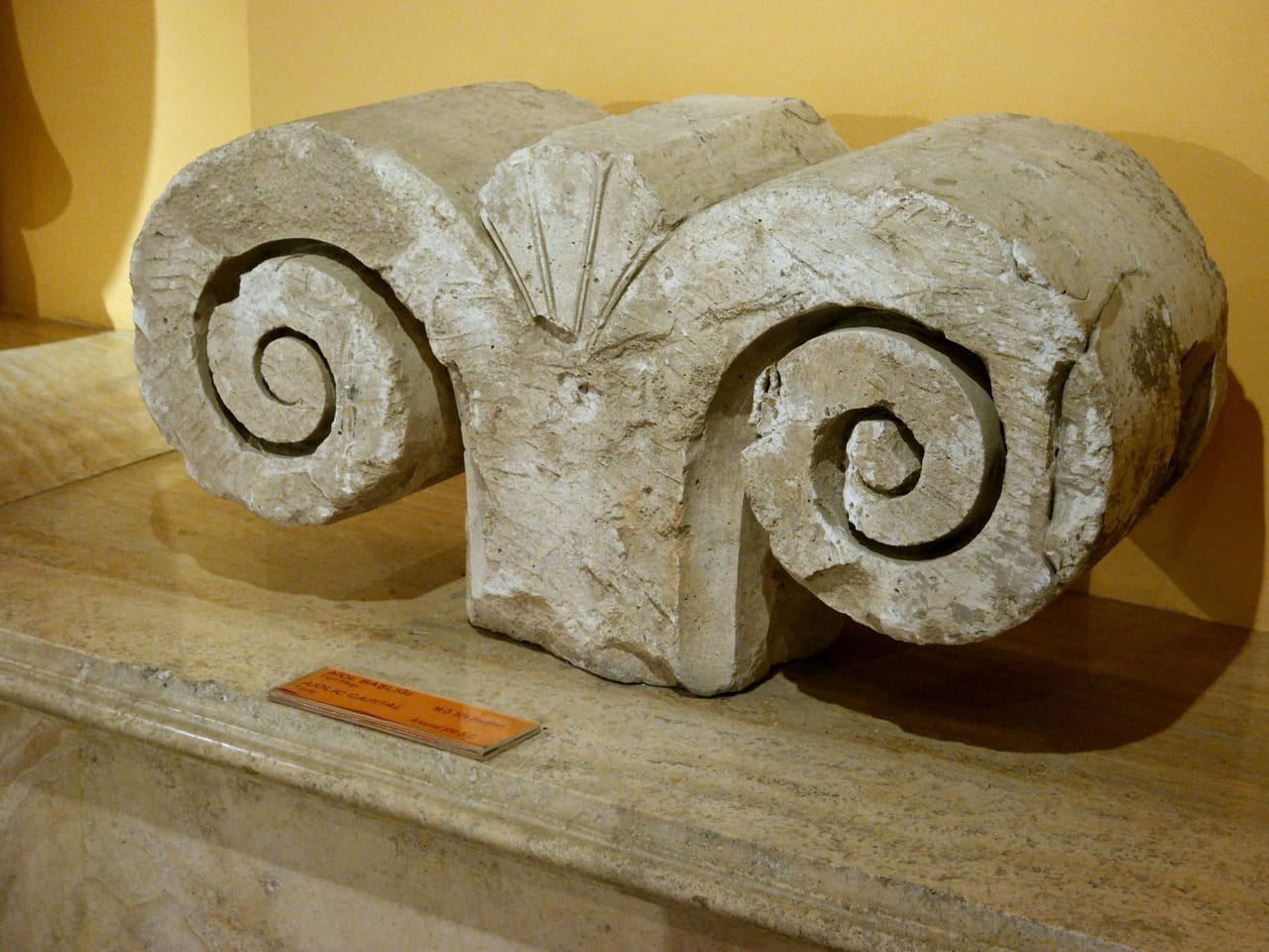
Old Smyrna
The first Smyrna, in Bayraklı: an Ionian city ringed by one of the oldest known city walls of the Greek world, with its Temple of Athena.
The year is around 600 BC. The army of King Alyattes of Lydia stands before the walls of this city.Listen to the rest in the app
The first Smyrna by the shore
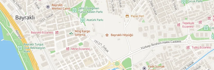
Old Smyrna lies on the Bayraklı–Tepekule mound, on the northeastern shore of the Gulf of İzmir at the southern foot of Mount Yamanlar; in antiquity it was a small peninsula reaching into the sea. The earliest settlement on the mound is an Early Bronze Age village built on an andesite outcrop around 3000 BC. Aeolians settled here around 1050–1000 BC; the city later passed to the Ionians and was counted as an Ionian city by 688 BC. Its name may be related to Tismurna, a place name found in a document from the period of the Assyrian trading colonies.
Walls and temple
In the mid-9th century BC, the city was enclosed by a wall with a stone outer face and a mudbrick core, considered the oldest known city wall of any Greek settlement. In the Late Geometric period, with its sanctuary, meeting places and strong wall, Smyrna became a city-state; around 1,500 people are thought to have lived inside the walls in 750–650 BC. The excavations identify the city's Temple of Athena as the earliest Greek temple in Anatolia. The streets followed a layout resembling a grid but adapted to the terrain; the fountain found here is regarded as the earliest surviving example in the Western world.
Siege and move
A widely held view places Homer in the area of Smyrna in the mid-8th century BC. King Alyattes of Lydia captured the city around 600 BC; after the Persians took it in the mid-6th century BC, Smyrna lost its importance, though life went on until the 4th century BC. Around 300 BC the city moved to the slopes of Mount Pagos, where Kadifekale stands today. The first systematic excavations began in 1948 under the British archaeologist John Cook and Ekrem Akurgal; the 2026 season was directed by Aylin Ümit Erdem of Ege University.
Practical information
- Location: Bayraklı, Tepekule; about 550–600 meters inland from today's shore.
- Suggested time: 45 minutes.
- Status: access restricted.
[bilgi: This is an excavation site; no official visiting hours are published.]
Where
Nearby places
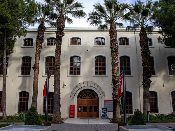 İzmir Culture and Art Factory
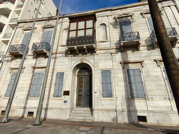 İzmir Atatürk Museum
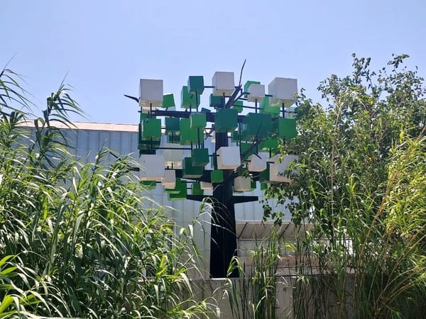 Yeşilova Mound
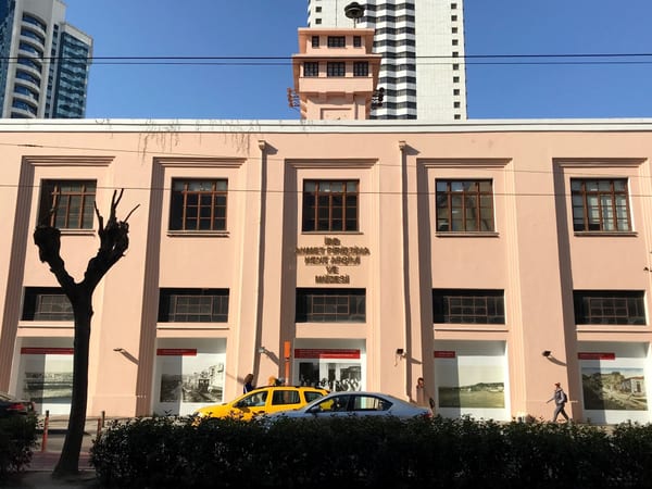 Ahmet Piriştina City Archive and Museum

Listen as you walk
Guide & Travel starts the story by itself when you reach the place, and it works offline too.
Photos (4)
- İzmir Culture and Art Factory — Photo: Koray · CC BY-SA 4.0 · Wikimedia Commons (cropped)
- İzmir Atatürk Museum — Photo: Ozlmktv · CC BY-SA 4.0 · Wikimedia Commons (cropped)
- Yeşilova Mound — Photo: Emrah Temur
- Ahmet Piriştina City Archive and Museum — Photo: BSRF · CC BY-SA 4.0 · Wikimedia Commons (edited)


