Bosphorus
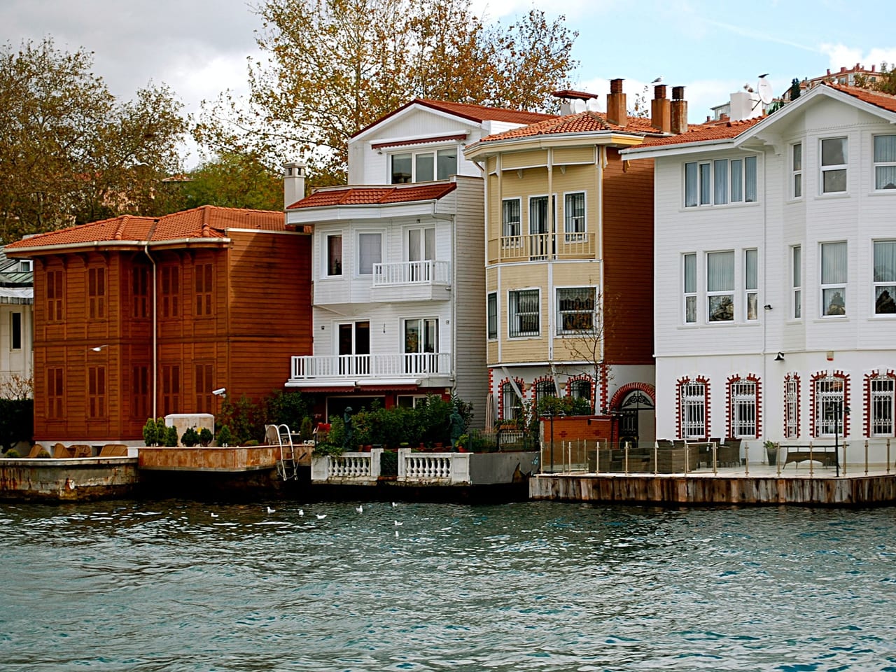
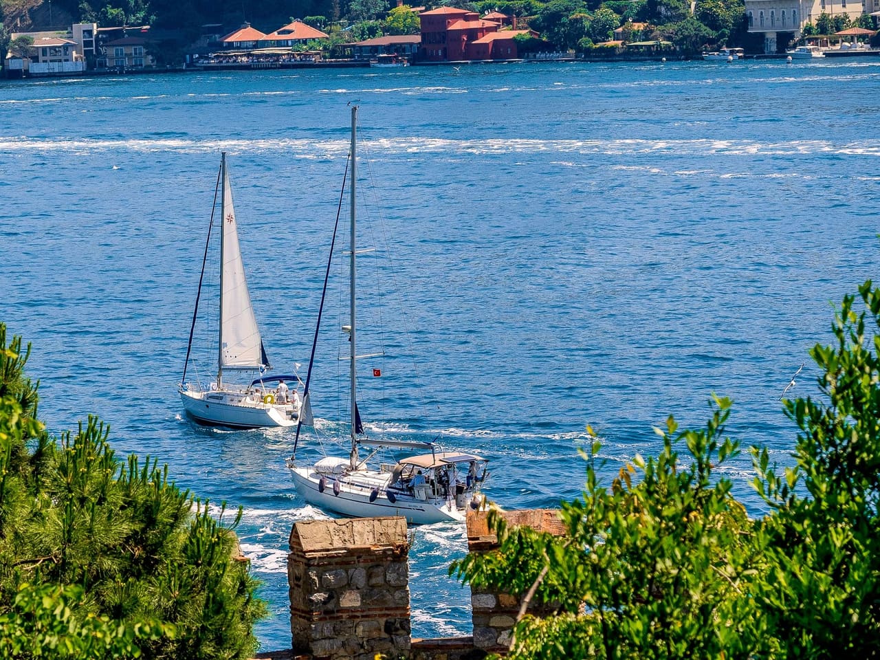
The waterway linking the Black Sea to the Sea of Marmara, its two shores lined with waterside mansions, palaces, and fortresses; the start of the Bosphorus boat tour.
Beneath this water, a second current is hidden, flowing the opposite way. On the surface, the water runs down from the Black Sea toward the Marmara.Listen to the rest in the app
Between the Black Sea and the Marmara
The Bosphorus (Boğaz) is a waterway about 30 kilometers long that links the Black Sea to the Sea of Marmara. The Anadolu and Rumeli lighthouses mark its northern limit, and Sarayburnu and the Maiden's Tower its southern one. Its axis is not straight; the shores wind in and out, which is why the European shore is much longer than the Asian one. On the surface a visible current flows from the Black Sea toward the Marmara, while deeper down a second current runs the other way, toward the Black Sea. The strait is narrowest between Rumeli Hisarı and Anadolu Hisarı. Western languages call it the Bosporus; the ancient Greeks named it the Symplegades, "the clashing rocks," after the rocks along its shores.
From fortresses to waterside mansions
The colonies of Byzantion and Chalcedon were founded at the southern mouth of the strait. The Ottomans built two fortresses facing each other at its narrowest point: Anadolu Hisarı on the Asian shore, built by Bayezid I, and opposite it Rumeli Hisarı, which Mehmed II raised in 1452. In the centuries that followed, villages such as Beşiktaş, Ortaköy, Bebek, Emirgan, Yeniköy, Kuzguncuk, Kanlıca, and Beykoz grew on both shores, and waterside mansions, pavilions, and palaces filled the waterfront. With the founding of the Şirket-i Hayriye in 1851, regular steamer service to the Bosphorus villages began, and the waterway became part of the city.
Seen from the boat
A Bosphorus tour passes Dolmabahçe Palace, Çırağan Palace, and the Ortaköy Mosque on the European shore. Just north of Ortaköy, the 15 Temmuz Şehitler Bridge spans the strait, with one end in Ortaköy and the other in Beylerbeyi. Farther north, Rumeli Hisarı and Anadolu Hisarı face each other. On the Asian shore, Küçüksu Pavilion, Beylerbeyi Palace, and the Maiden's Tower off Üsküdar complete the route; each has its own stop.
Practical information
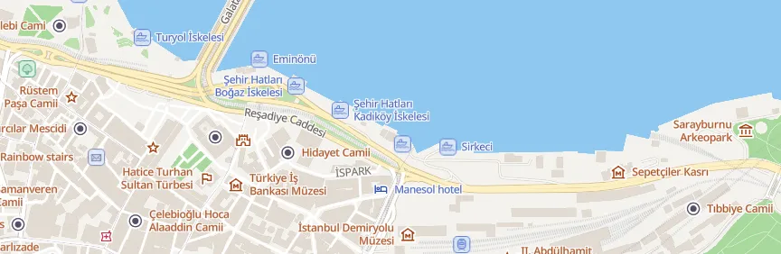
- Getting there: To the Eminönü piers by the T1 tram (Eminönü stop) or by ferry from Üsküdar and Kadıköy.
- Bosphorus tour: Boat tours and public ferries leave from Eminönü, Kabataş, and Karaköy; for routes, durations, and departure times, check the operator's current timetable.
- Suggested time: 1.5–2 hours for a short tour; half a day or more for a tour to the northern end of the strait.
Where
Nearby places
 New Mosque
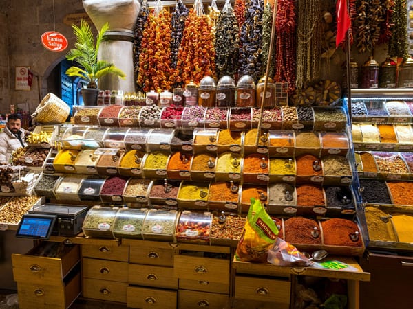 Spice Bazaar
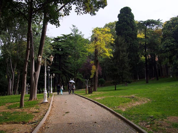 Gülhane Park
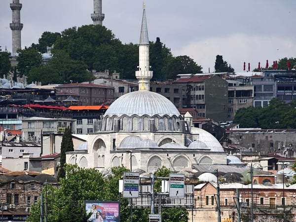 Rüstem Pasha Mosque

Listen as you walk
Guide & Travel starts the story by itself when you reach the place, and it works offline too.
Photos (4)
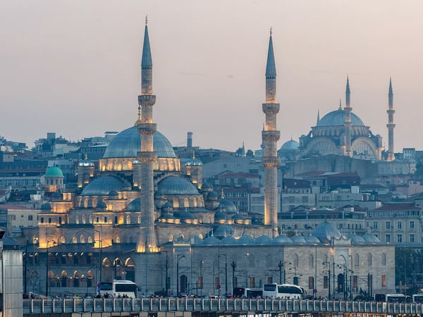
- New Mosque — Photo: Diego Delso · CC BY-SA 4.0 · Wikimedia Commons (cropped)
- Spice Bazaar — Photo: Thomas Berwing · CC BY-SA 4.0 · Wikimedia Commons (cropped)
- Gülhane Park — Photo: rheins · CC BY 3.0 · Wikimedia Commons (colour corrected)
- Rüstem Pasha Mosque — Photo: Dosseman · CC BY-SA 4.0 · Wikimedia Commons (cropped)


